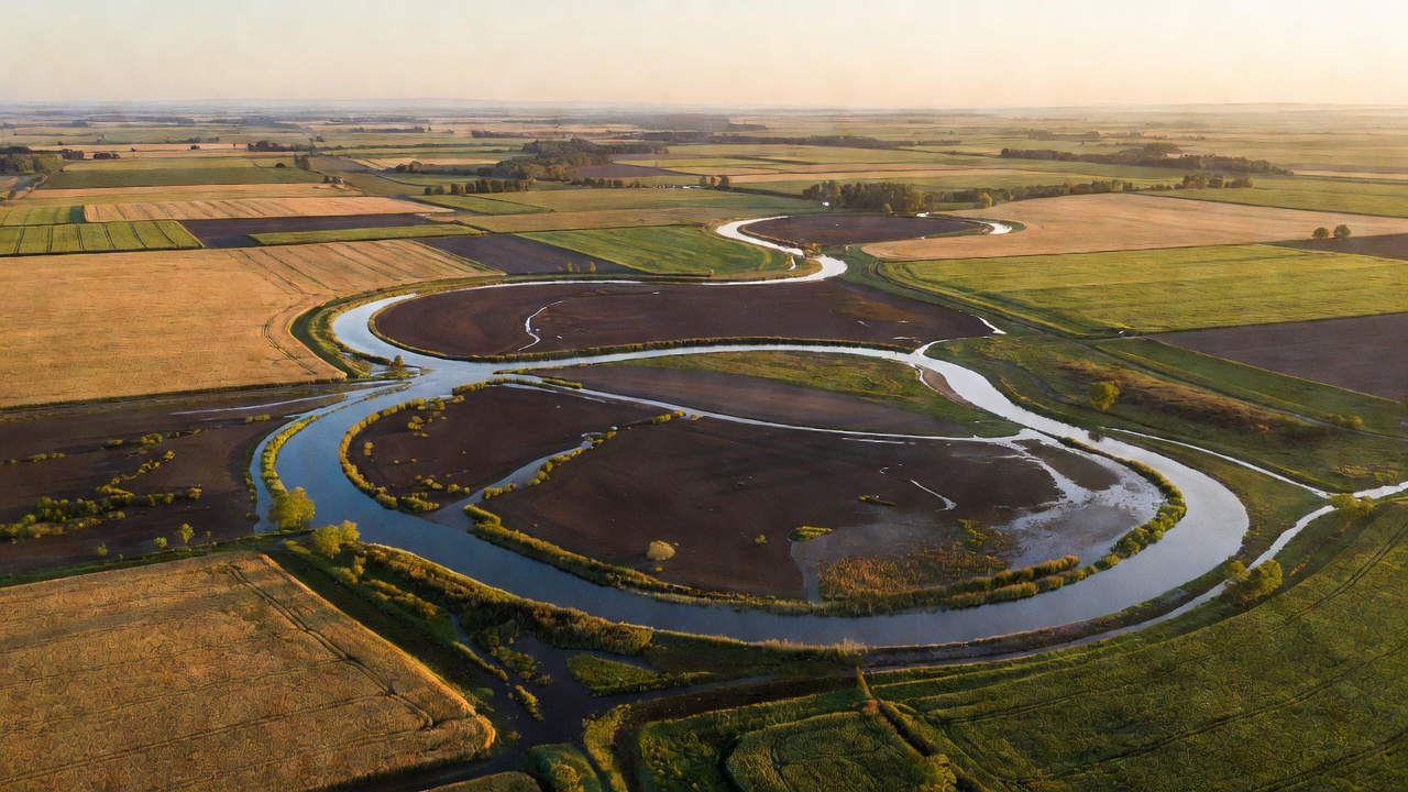
The warning window begins upstream
A catchment is the area of land that drains towards a particular river or outlet. Rain falling in one part of it may reach a downstream community much later. That delay can create a warning window, but the window changes with catchment size, slopes, soil conditions and the intensity of rainfall. A small, steep catchment may respond much faster than a large river basin.
Flood forecasting therefore connects several estimates. Meteorologists estimate rainfall. Hydrologists estimate how much becomes runoff and how it moves through rivers. Other specialists may estimate where water could leave the channel. Each step introduces uncertainty, and each serves a different decision. Knowing the likely flow at a gauge is valuable, but it does not directly tell a resident whether water will reach a particular doorway.
Observations are essential—and incomplete
Rain gauges provide local measurements, while weather radar estimates rainfall across wider areas. River gauges record water level; converting that level into flow usually relies on a relationship established through measurements. Satellites can contribute information about precipitation, soil moisture, snow and inundation. Terrain, land cover, reservoirs and drainage networks supply important context.
None of these sources is complete. A gauge may fail during severe conditions. Radar estimates can be affected by terrain or precipitation type. A river channel may change after a major event, weakening an older level-to-flow relationship. Data quality checks and maintenance are therefore part of prediction, not an administrative detail added afterwards. An elegant model cannot recover every missing observation.
Where AI can contribute
Machine-learning models can learn relationships between weather inputs, catchment characteristics and observed river behaviour. They may help estimate streamflow, improve a component of an existing modelling chain or transfer information between basins with different amounts of data. Their usefulness depends on the training record, the forecast horizon and the conditions under which they are tested.
The research behind Google's global flood forecasting work, published in Nature in 2024, examines prediction in ungauged watersheds. It is an important example of expanding forecast coverage, not evidence that every location now has a reliable street-level warning. Operational coverage, local validation and the connection to authorised warning services still need to be checked separately.
European systems offer another perspective. The Copernicus Emergency Management Service supports the European Flood Awareness System and the Global Flood Awareness System. These systems provide forecast information for relevant authorities and users at continental or global scales. A broad-scale signal can prompt closer attention without resolving every tributary, culvert or urban drainage problem.
Read the uncertainty, not just the map colour
An ensemble forecast explores several plausible evolutions rather than presenting one future as certain. If many members indicate high flows, confidence may increase. If they diverge, forecasters examine why. A probability needs a defined event, location and time window to be meaningful. “A chance of flooding” is less useful than a clearly specified threshold and period.
Forecast evaluation should consider missed events, false alarms, timing errors and the reliability of probabilities. Results should also be separated by catchment type and lead time. An overall score can hide weaker performance in small basins or rare conditions. Historical success does not guarantee that an unprecedented combination of rainfall, land use and infrastructure behaviour will be represented well.
Flood skill and local readiness are different
The Environment Agency in England and the Scottish Environment Protection Agency operate within different warning arrangements. Residents should identify the service responsible for their own area rather than assume every map uses the same categories. Flood alerts, warnings and emergency instructions must be read with their issuing authority, coverage and update time.
Local readiness includes accessible communication, safe routes, support for people who need assistance and knowledge of vulnerable infrastructure. Surface-water flooding can develop away from a main river, while coastal flooding may involve tides, waves and surge. A river product may not cover those processes. The practical lesson is to understand what the service monitors before interpreting silence as reassurance.
For civic staff, the handover question is concrete: what forecast information triggers a check, a conversation or an action under the local plan? For residents, it is about knowing trusted channels before conditions deteriorate. This article does not supply route advice or evacuation instructions; those require current, local information from the responsible authorities.
Sources and further reading
- Nearing and colleagues, “Global prediction of extreme floods in ungauged watersheds,” Nature, 2024 — research scope and evaluation.
- European Flood Awareness System — European-scale flood forecast information.
- Global Flood Awareness System — global river flood forecasting.
- Environment Agency: Check for flooding — official information for England.
- SEPA Floodline — official flood information for Scotland.
Sources describe different products and jurisdictions. Their inclusion does not imply affiliation or endorsement.